
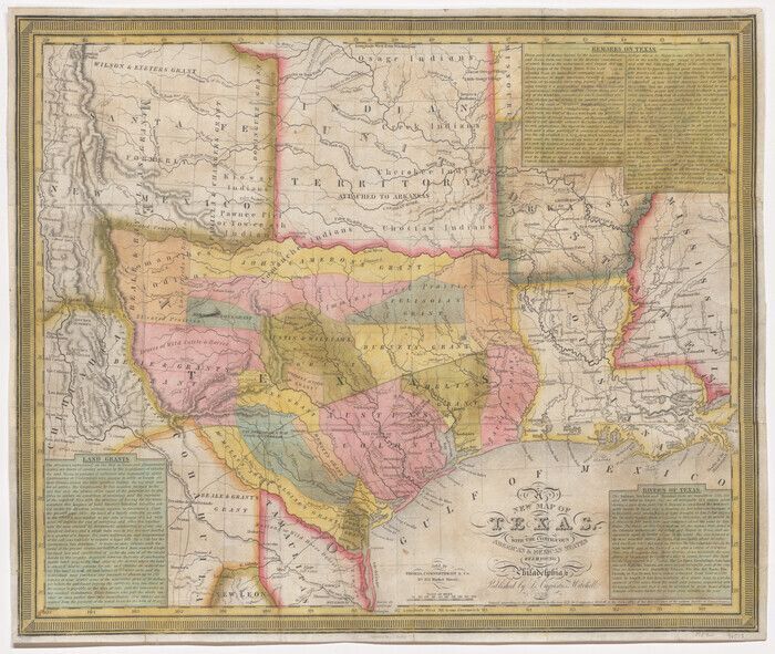
Above: “J. H. Young, A New Map of Texas with the contiguous American and Mexican States,” 1839. Map #96513, Map Collection, Archives and Records Division, Texas General Land Office, Austin, TX.”
by James Harkins, Texas General Land Office (GLO)
Texas Takes Shape: A History in Maps from the General Land Office is a visually stunning, richly curated journey through five centuries of cartographic history that features over one hundred rare and beautifully reproduced maps from the Archives of the Texas GLO. The book, published by UT Press, reveals how borders, counties, cities, and identities were drawn—and redrawn—across centuries of exploration, conflict, and change.
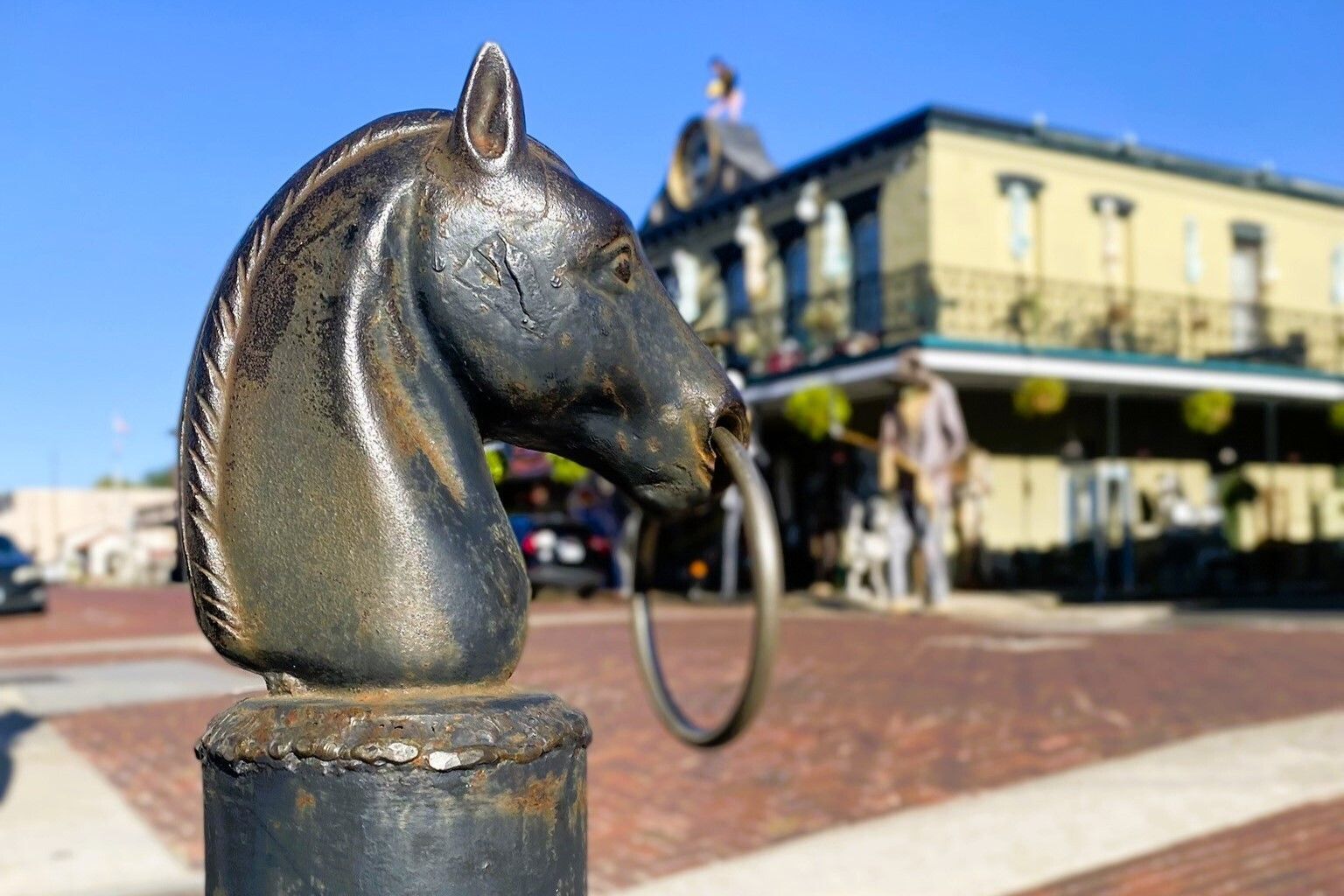
Land Commissioner Dawn Buckingham, M.D., provides a thoughtful foreword for the book, highlighting her own ancestors' arrival in Texas and the opportunity they found working on this land. She details their settlement in Brazoria County along the Brazos River in present-day Bailey's Prairie, named in her ancestor's honor.
Perfect for history buffs, educators, and anyone who loves maps, this volume offers compelling analysis from GLO staff alongside full-page visuals that span Indigenous territory maps, Spanish land grants, Republic-era surveys, railroad expansions, and modern-day renderings. Each map tells a story—not just of land, but of the people, power struggles, and aspirations that shaped Texas over time. With essays illuminating the hidden contexts behind the maps’ lines—such as the roles of land speculators, surveyors, and settlers—Texas Takes Shape helps readers understand how maps were used to reflect reality and to shape it. “Beyond the Neatline” features explore overlooked aspects of history, revealing intriguing details that conventional histories often miss. These essays introduce topics such as cartographic art, the role of the church in mapping Texas, land grant programs for veterans, and an obscure nineteenth-century GLO map duplication program, among several other interesting topics.
We hope this book will encourage readers to seek out how their own Texas stories took shape. This is a central theme of the work of the Texas Historical Foundation, which generously supported this project. We are deeply grateful for their ongoing dedication to preserving and promoting Texas history through education, research, and public engagement.
James Harkins is the Director of Public Services for the Texas General Land Office Archives and Records in Austin.

Texas Takes Shape: A History in Maps from the General Land Office
Authors: Mark Lambert, James Harkins, Brian A. Stauffer, and Patrick Walsh.
PURCHASE BOOK
University of Texas Press, 2025